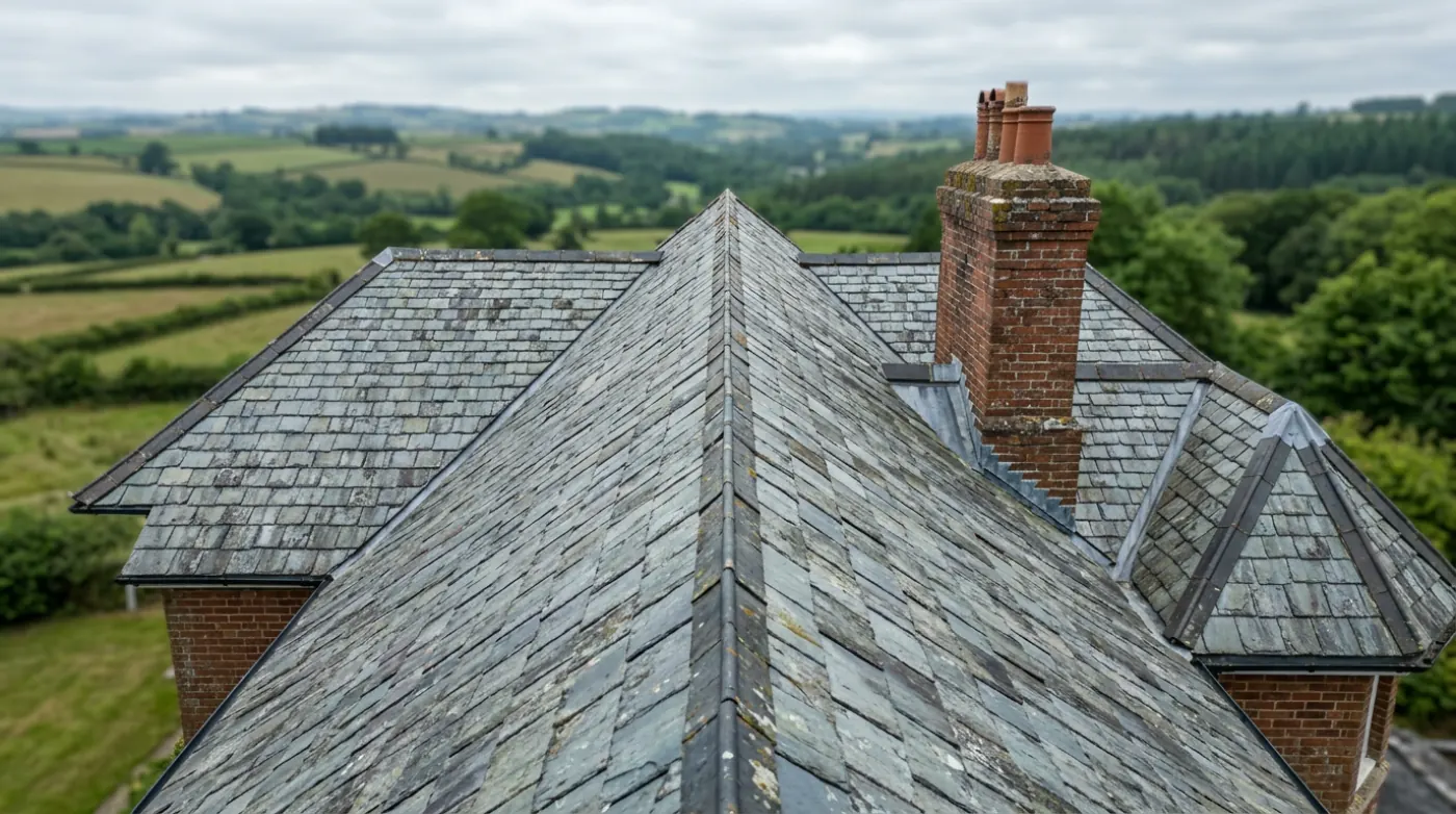
Drone Roof Survey
The whole roof photographed at 100 megapixels, elevation by elevation, written up and with you inside 48 hours, no scaffold required.
The standard surveyDevon and the South West
A flown survey of the whole roof at 100 megapixels, then a written report in your inbox within 48 hours showing what is wrong, where it is and how urgent it looks.
The actual problem
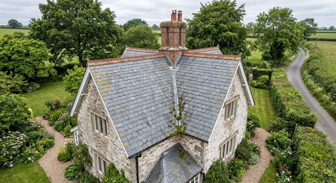
Roofs get looked at from the pavement. Someone stands at the gate, tips their head back, and forms a view about a surface they can see perhaps a third of. The other two thirds, the valleys, the far slope, the back of the stack, the flat bit over the extension, are all taken on trust.
That is fine until water arrives inside. Then everybody is guessing, the first roofer says one thing and the second says another, and the only way to settle it has traditionally been to spend a few thousand pounds putting up a scaffold before anyone has established whether there is anything wrong.
A flown survey removes the guessing without the scaffold. The aircraft goes where a person cannot safely go, photographs the lot at a resolution you can crop into, and you end up with a document rather than an opinion.
What we fly
The whole roof photographed at 100 megapixels, elevation by elevation, written up and with you inside 48 hours, no scaffold required.
The standard survey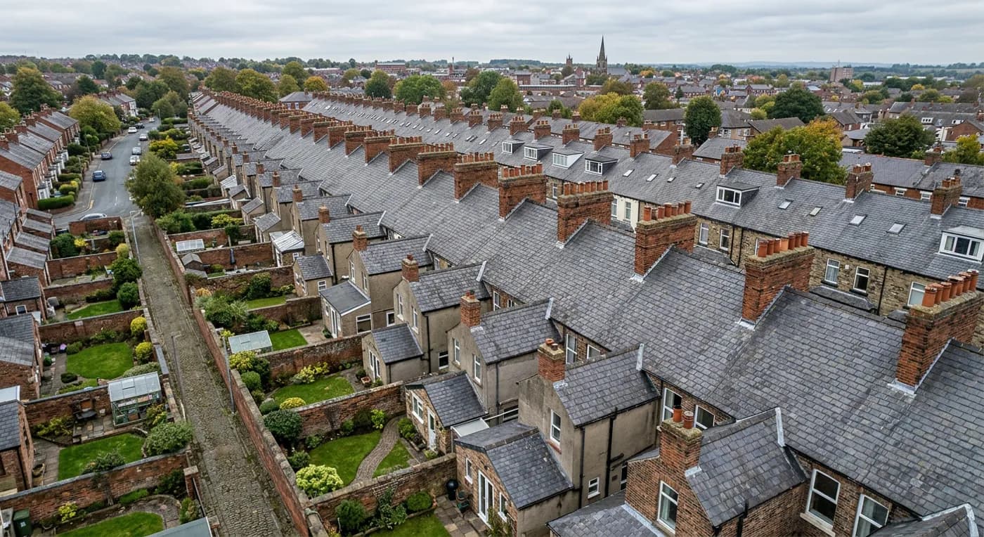
A flown survey between offer and exchange, so a roof you have only seen from the pavement stops being an unknown before you commit to buying it.
Before you buy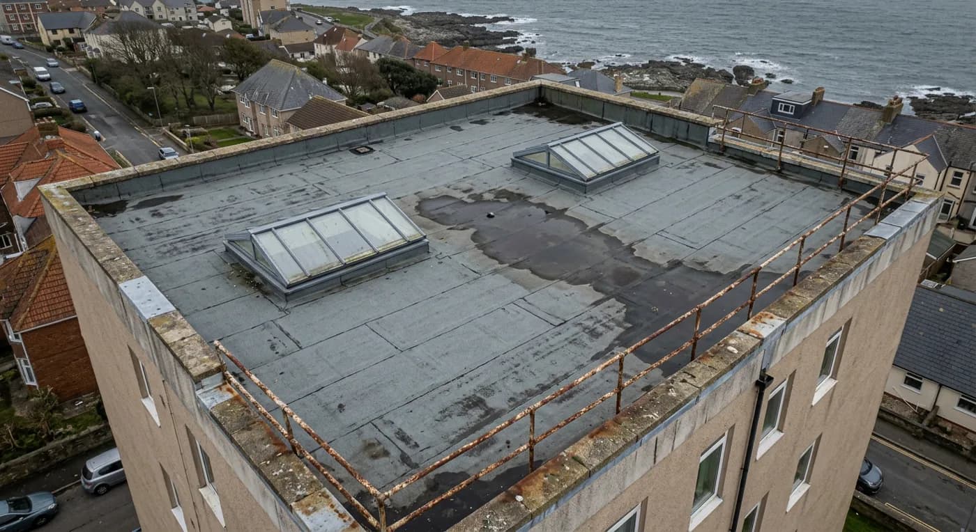
Scheduled roof surveys across a portfolio or a block, with one written report per address and a consistent record kept year on year.
Portfolios and blocksCredentials
Operator ID and Flyer ID held, plus the A2 Certificate of Competency. Every flight is planned to the rules that apply to the site, and the paperwork is available before the visit if your agent or insurer wants it.
A DJI Mavic 4 Pro with a Hasselblad camera and 6K video. The resolution is what lets a survey stand off the building at a safe distance and still show a hairline crack in a single slate.
A DJI Mavic 2 Enterprise Advanced carrying a 640 by 512 thermal camera. Used where a leak needs tracing rather than just photographing, because water shows as temperature long before it shows as a stain.
Full commercial cover for the operation. Certificates go to managing agents, block committees and insurers as a matter of course, without anyone having to chase for them.
What you get

What it looks like
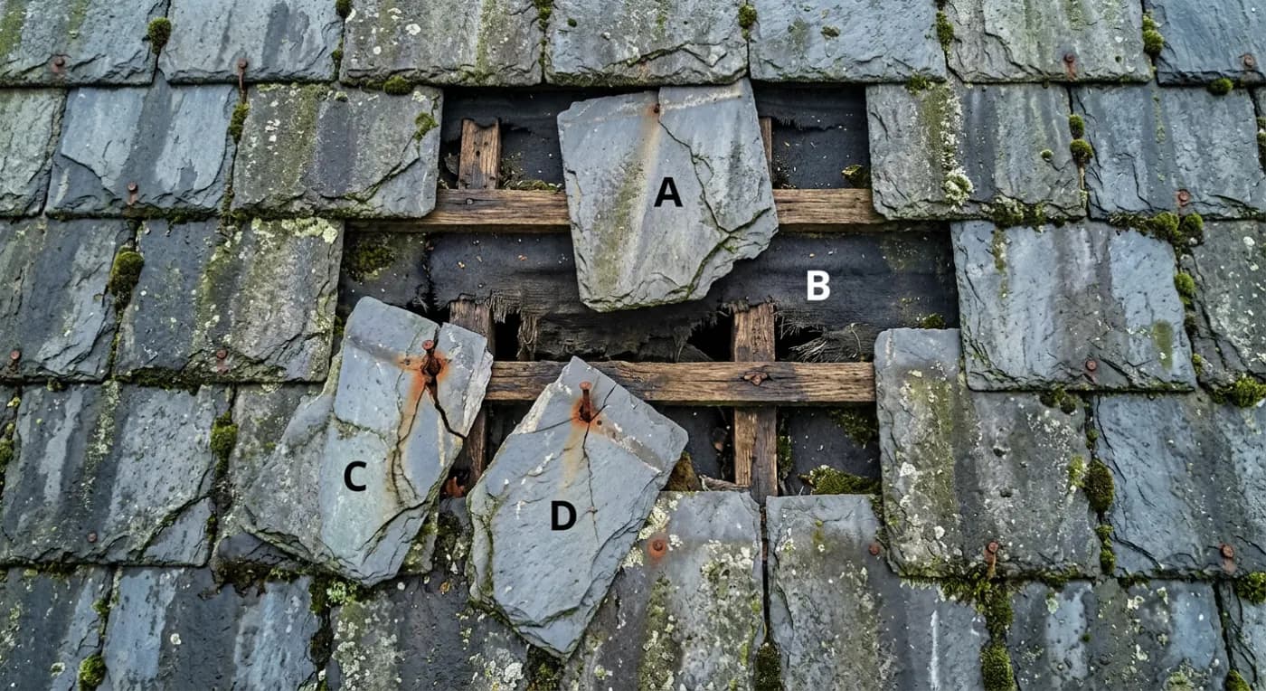
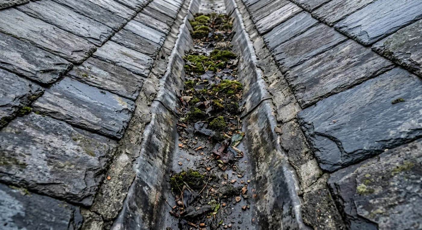
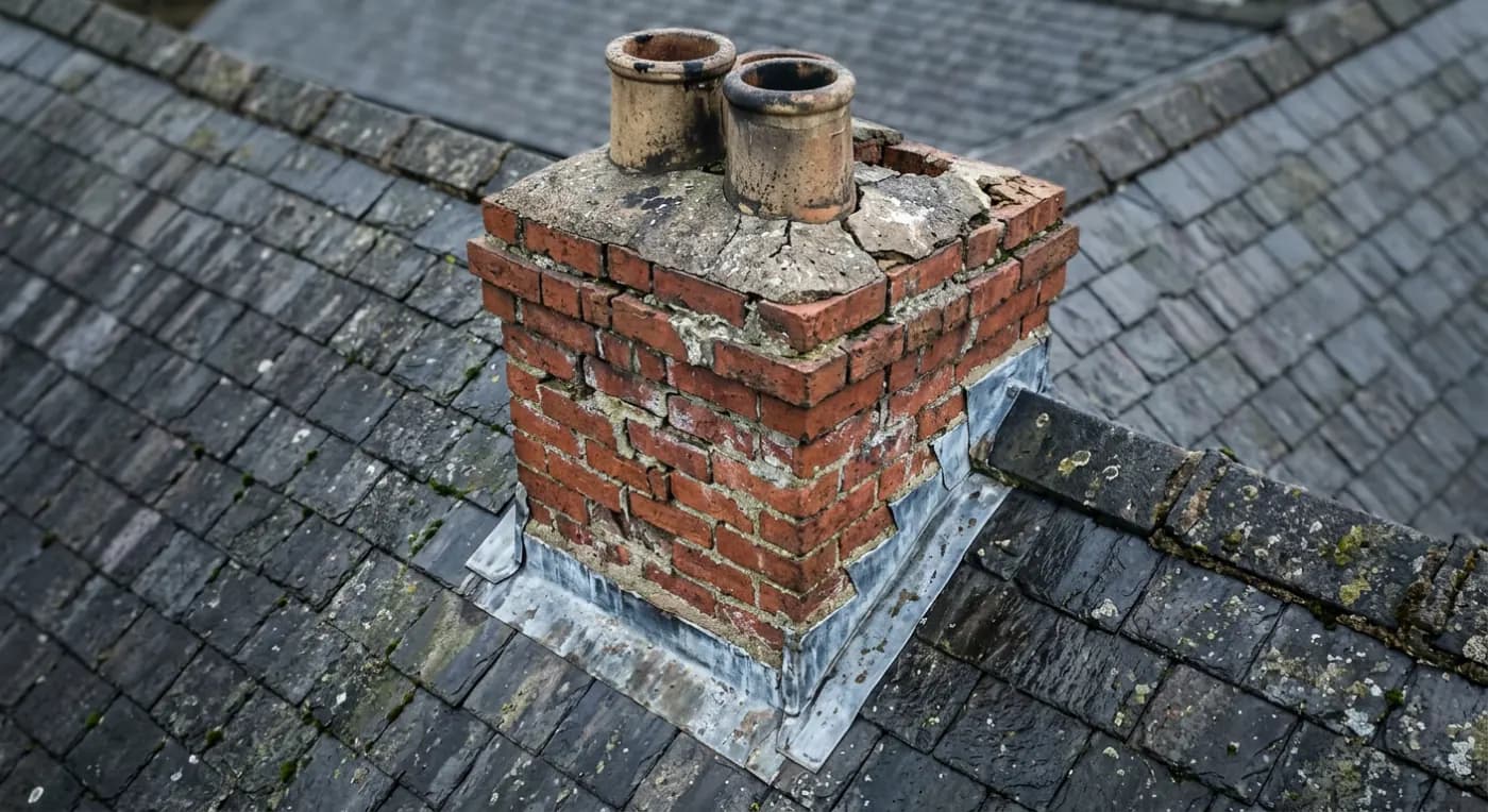
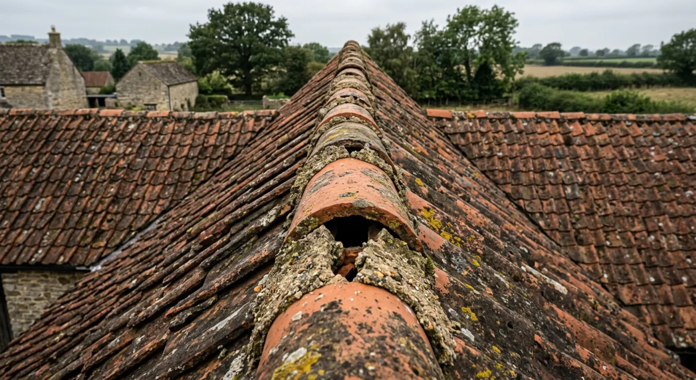
Where we fly
Questions
Get it looked at
Tell us the address and what you need looking at. Sam Hembury will come back with a fixed price and the next available slot.